January 13, 2025 | Wildfire News Updates
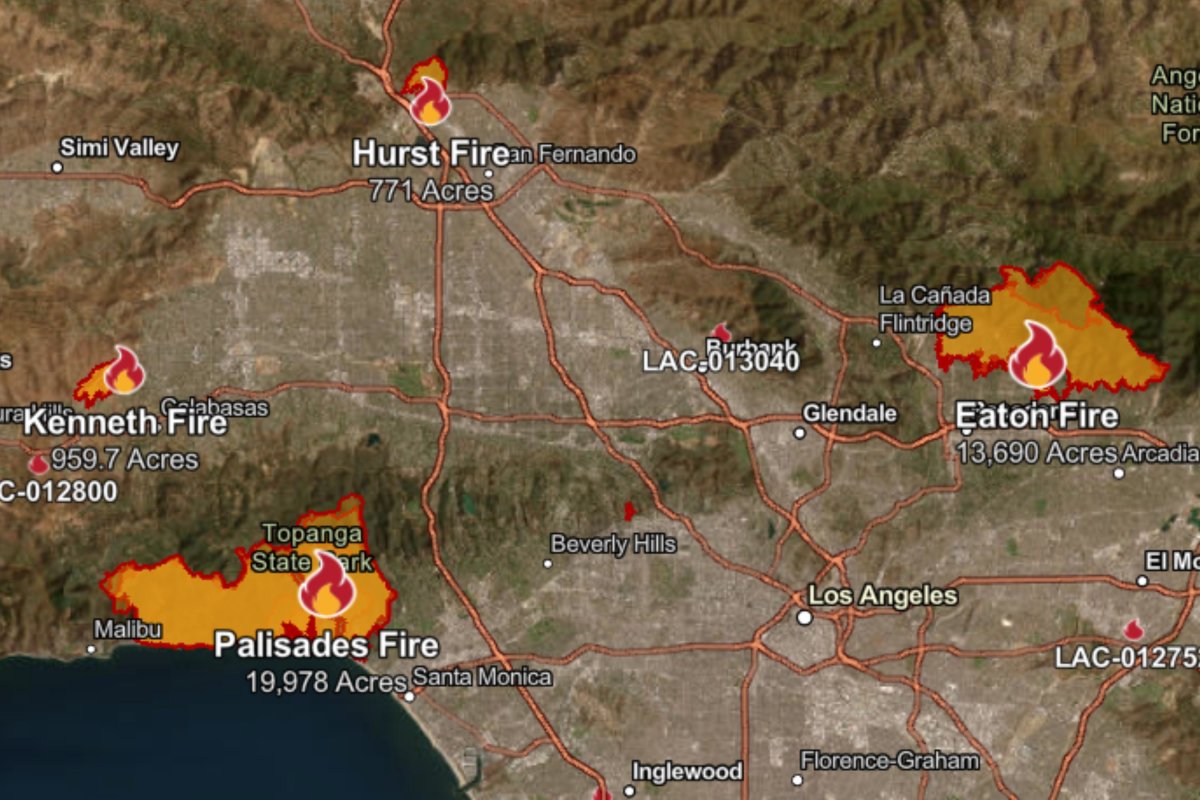
LOS ANGELES (KTLA) – The Los Angeles County Fire Department has provided the following maps of the thousands of structures, primarily homes, that were damaged or destroyed in the Palisades and Eaton wildfires.
The map icons reflect the current known status of each structure. Red indicates a structure was destroyed. Orange indicates “major” damage. Yellow indicates “minor” damage. Green indicates a low level of impact. Black indicates a structure not damaged. Grey indicates “inaccessible.”
Incident commanders say field damage inspections are ongoing and may change as new information is gathered and verified.
Click here to read more and view the interactive map on KTLA5’s website


Comments are closed